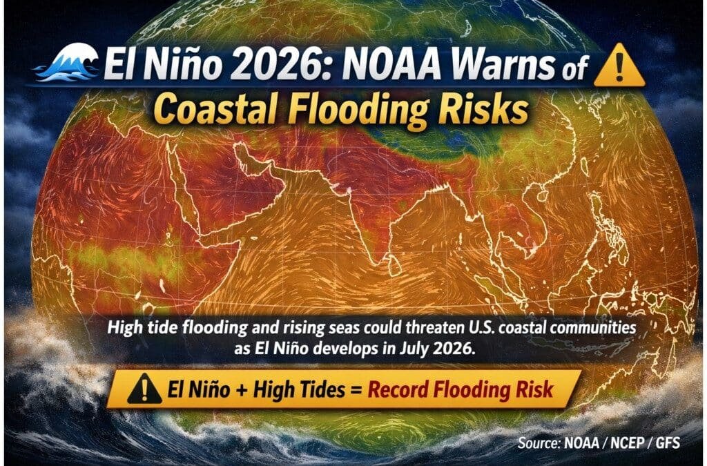
The U.S. National Weather Service (NOAA) has issued a projection that El Niño will likely develop by July 2026 and continue through the winter months. This climate shift could bring a dangerous combination of high tide flooding and storm activity, putting coastal communities across the United States at heightened risk.
What Is El Niño?
El Niño represents the warm phase of the El Niño-Southern Oscillation (ENSO), a recurring climate cycle in the tropical Pacific Ocean. During this phase, trade winds weaken, allowing warm water to spread eastward across the Pacific. This warming raises sea surface temperatures and alters global weather patterns, often leading to extreme rainfall, stronger storms, and elevated sea levels.
Regional Impacts
On the Pacific Coast, higher sea levels push tides and surf further inland, worsening flooding risks and eroding vulnerable shorelines. Along the Atlantic Coast, El Niño shifts the jet stream southward, steering storms toward the mid‑Atlantic. This pattern increases the likelihood of storm surge events and coastal inundation. In the Gulf and Southeast Coasts, warmer waters intensify rainfall, driving up flood risks and straining already vulnerable communities. Heavy downpours combined with rising seas could overwhelm drainage systems and lead to widespread flooding.